Agricultural Drone Inspections
Aerial thermal and high-res inspections for NC farms — irrigation diagnostics, livestock and field checks, drainage mapping, and stand verification.
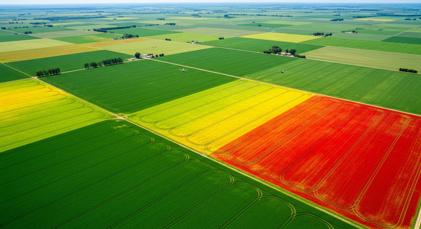
Overview
Most acres go unwalked, and the issues that hurt yield — broken pivots, plugged tile, ponding, weak emergence, livestock down — usually start small. Holmes and Watson scouts farms with paired radiometric thermal and high-resolution optical drones, giving growers a fast, repeatable look at what's actually happening across the operation. We focus on what aerial inspection does best: catching irrigation failures, mapping drainage, verifying stand emergence, locating livestock, and spotting stressed zones that warrant a ground walk.
Why Choose Drone Agricultural Aerial Inspections
Walking every acre is impossible; flying every acre is routine. Paired thermal and visual aerial scouting catches the problems most likely to hurt yield, while they're still small.
When to use it: Use agricultural aerial inspection for in-season scouting (especially during pivot operation and after storms), pre-harvest stand verification, post-storm damage documentation, and as part of a recurring season-long scouting program.
What We Inspect
- Irrigation system performance and pivot/leak detection (thermal)
- Field drainage, ponding, and ditch condition mapping
- Stand counts, emergence verification, and replant zones
- Crop water-stress hot spots flagged by thermal contrast
- Livestock location, count, and welfare checks
- Storm, hail, and flood damage documentation
Our Process
Mission Planning
Walk the operation with the grower, map field boundaries, and define which fields, structures, or herds need recurring eyes on them.
Paired Thermal + RGB Capture
Autonomous grid flights collect radiometric thermal and high-resolution visual imagery in a single pass.
Anomaly Identification
We mark thermal water-stress zones, drainage problems, broken irrigation, livestock concerns, and damaged sections of field.
Field-Ready Reporting
Geo-tagged orthomosaic, annotated PDF, and a punch-list of locations worth driving to before they become yield loss.
Deliverables
High-resolution RGB and thermal orthomosaics, geo-tagged anomaly punch list, drainage/ponding maps, livestock and stand-count reports, and storm-damage documentation packages.
Cost Factors
- Total acreage and field clustering
- Recurring program vs. one-off scout
- Reporting depth (basic anomaly punch list vs. integrated agronomy reporting)
Frequently Asked Questions
Related Services
Industries We Serve
Agricultural Aerial Inspections by Service Area
Request Agricultural Aerial Inspections
Get a detailed proposal and flight plan for your specific asset.
Get a Quote (540) 632-3458Trust Signals
- • FAA Part 107 Certified Pilots
- • NACHI Thermography Certified
- • Licensed NC Building Class Contractors
- • 20+ Active Industry Certifications
- • Fully Insured for Commercial Operations