Agricultural Drone Services
Aerial farm scouting across NC — thermal irrigation diagnostics, drainage mapping, livestock checks, stand verification, and storm-damage documentation.
Industry Overview
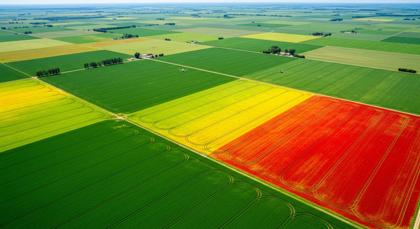
The margin between profit and loss in modern agriculture is narrow, and most issues that hurt yield start small and out of sight. Holmes and Watson scouts farms from the air with paired radiometric thermal and high-resolution visual drones, giving growers fast, repeatable coverage of fields, irrigation, drainage, structures, and livestock — focused on the kinds of problems aerial inspection catches better and earlier than a windshield drive-by.
Key Inspection Targets
- Irrigation performance and leak/break detection (thermal)
- Drainage, ponding, and field condition mapping
- Plant population, stand counts, and emergence verification
- Livestock location, count, and welfare checks
- Storm, hail, and flood damage documentation
- Roof and structure condition on barns and ag buildings
Operational Process
Field Mapping
Autonomous multi-rotor missions covering full fields with high overlap for accurate orthomosaics.
Paired Thermal + RGB Capture
Radiometric thermal and high-resolution optical imagery collected in a single pass.
Ground Truthing
Flagged anomalies are turned into a geo-tagged punch list so the grower knows exactly where to walk.
Reporting
Annotated maps, photos, and PDFs delivered for the operation, the agronomist, or the insurance file.
Final Deliverables
High-resolution RGB and thermal orthomosaics, geo-tagged anomaly punch lists, drainage/ponding maps, livestock and stand-count reports, and storm-damage documentation packages.
Frequently Asked Questions
Related Services
Request Services
Get a tailored inspection proposal for your facility or asset portfolio.
Contact Us (540) 632-3458