Drone Stockpile Volume Measurement
Fast, safe inventory measurement for quarries, mines, and sites using drone photogrammetry. Cut/fill volumes and tonnage in hours, not days.
Overview
Walking stockpiles with a GPS rover is slow, dangerous, and often inaccurate for irregular shapes. Holmes and Watson uses drone photogrammetry to create highly accurate 3D surface models of inventory. We calculate cut/fill volumes, tonnage (with known density), and changes over time — providing fast and reliable data for accounting, operations, and reserves reporting.
Why Choose Drone Stockpile Volumetrics
Drone-based volumetrics are typically within 1-3% of traditional survey methods, completed in a fraction of the time, with no rover crews walking unstable piles.
When to use it: Use stockpile volumetrics for monthly or quarterly inventory reconciliation, audit support, end-of-period reserves reporting, and any inventory question where ground methods are dangerous or impractical.
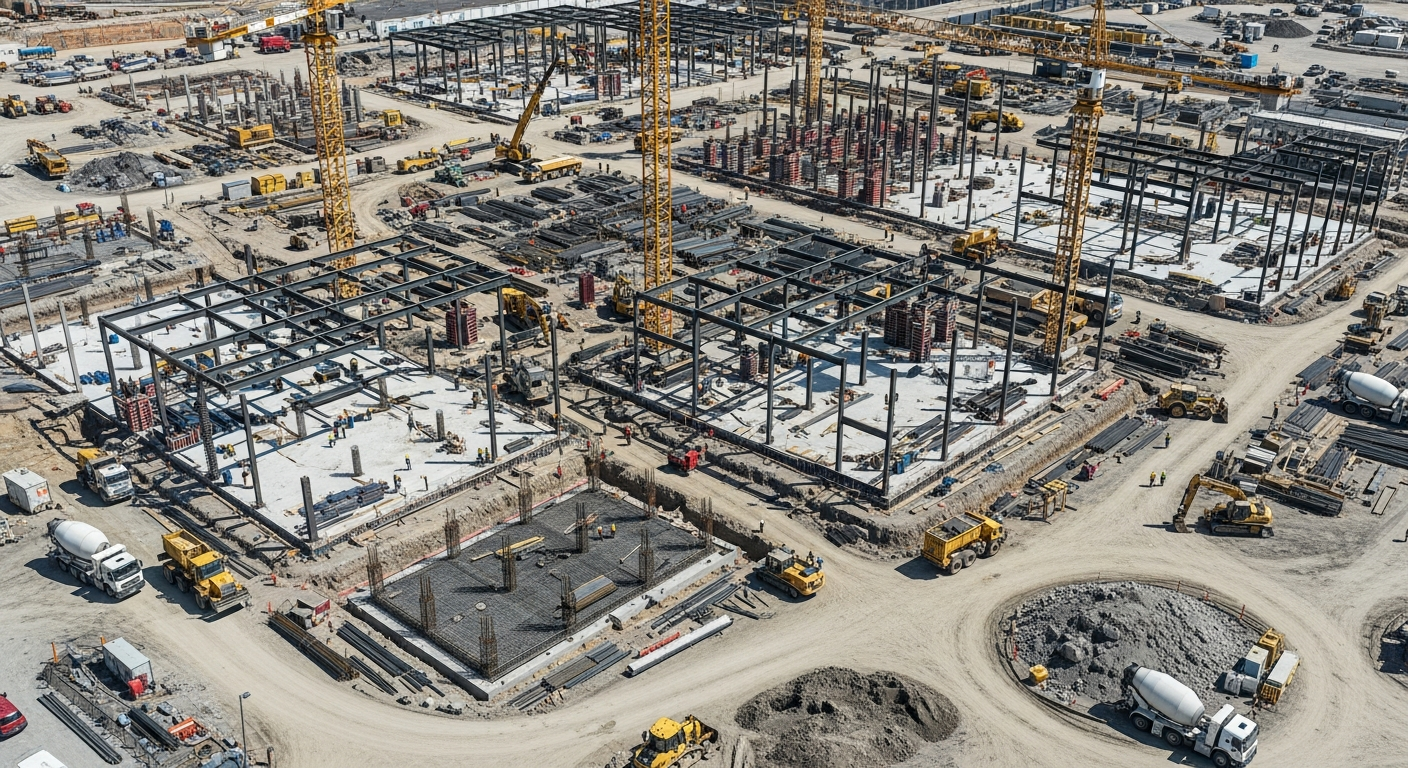
What We Inspect
- Gravel, sand, and aggregate stockpiles
- Coal and mineral inventory
- Earthwork cut and fill measurements
- Landfill capacity tracking
- Bulk material yard inventory
Our Process
Control
Setting Ground Control Points (GCPs) to ensure survey-grade absolute accuracy.
Flight
Capturing high-overlap imagery across the entire site with paired RGB photogrammetry.
Modeling
Processing imagery into a dense 3D point cloud and Digital Surface Model (DSM).
Calculation
Defining stockpile boundaries and calculating volumes against a defined base plane.
Deliverables
Comprehensive volume report detailing cubic yards/meters for each pile, 3D interactive viewer, updated site map, and tonnage estimates with provided density.
Cost Factors
- Number of stockpiles and total site area
- Recurring program vs. one-off measurement
- Reporting and integration with accounting/ERP systems
Frequently Asked Questions
Related Services
Industries We Serve
Stockpile Volumetrics by Service Area
Request Stockpile Volumetrics
Get a detailed proposal and flight plan for your specific asset.
Get a Quote (540) 632-3458Trust Signals
- • FAA Part 107 Certified Pilots
- • NACHI Thermography Certified
- • Licensed NC Building Class Contractors
- • 20+ Active Industry Certifications
- • Fully Insured for Commercial Operations